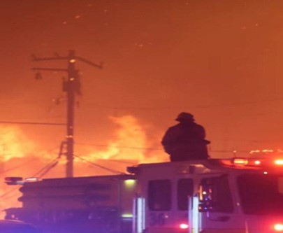

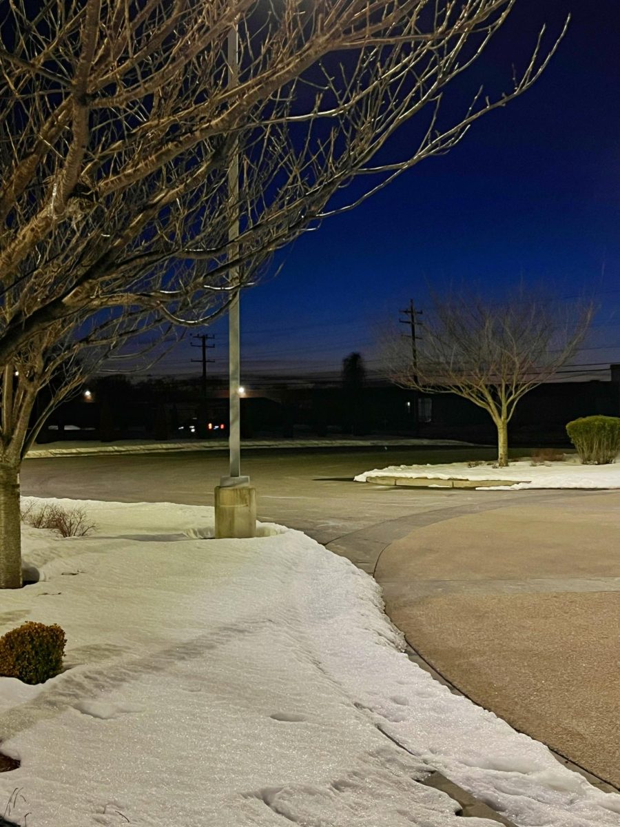
This winter was one of the coldest in recent memory, with the panhandle receiving more snow than Salt Lake City, and temperatures dipping lower than many cities in the northern United States, including Juneau, Alaska. With the first week of February having lows in the 30s for the majority of Pinellas County for 4 days straight, this winter has been one to remember. January, in particular, was one of the coldest months that anyone in St Pete can recall, and a large-scale pattern shift with multiple different drivers is to blame.
This cold weather was something that felt like it was straight out of the arctic, and that’s how it happened. The polar vortex is the pattern of upper-level winds that surround the upper latitudes, and it usually keeps extremely cold air contained within that part of the world when it’s strong. However, this time, it was a lot weaker than usual, allowing the cold air to drop down more frequently this time of year. This was due to a lesser pressure difference between our latitudes and the sub-arctic latitudes where this vortex usually is placed, which makes it easier for cold air to dip down. This mechanism of air pressure differences is called the North Atlantic oscillation; it is mainly driven by the Bermuda and Azores high pressure ridges, which usually determine where hurricanes move in the summer. When these two ridges weaken, cold fronts can dip down to lower latitudes, and this causes more extreme winter weather conditions to spread across the United States. This explains the huge snowstorm that went all the way to the Carolinas with record snow.
This pattern in the North Atlantic isn’t the sole culprit of this cold weather, though; the ENSO oscillation is what mainly affects Florida’s climate. It is what drives these seasonal patterns, and this year, it is in the La Nina phase. What is the ENSO oscillation itself though? It is the strength of trade winds in the East Pacific that determines the temperature of that stretch of ocean. The La Nina phase is when these trade winds are stronger, and it causes the sea surface temperatures to cool, due to the cooler water from the bottom of the ocean being upwelled from surface water being displaced from the wind.. When this occurs, conditions tend to be drier and cooler across Central America, South America, and the southern United States. This decreases the pressure difference in the southern U.S and western Atlantic with the polar vortex. It is because cooler and moist air does not rise as easily; it is denser. When the air is denser, it cannot rise, and the air pressure becomes lower. This creates an area of lower pressure in the southeast U.S which allows for cold air masses to drop down more easily when the NAO is in a “negative” oscillation. La Nina brings winter temperatures to more extremes, and allows the cold snaps to become more frequent, long and intense.
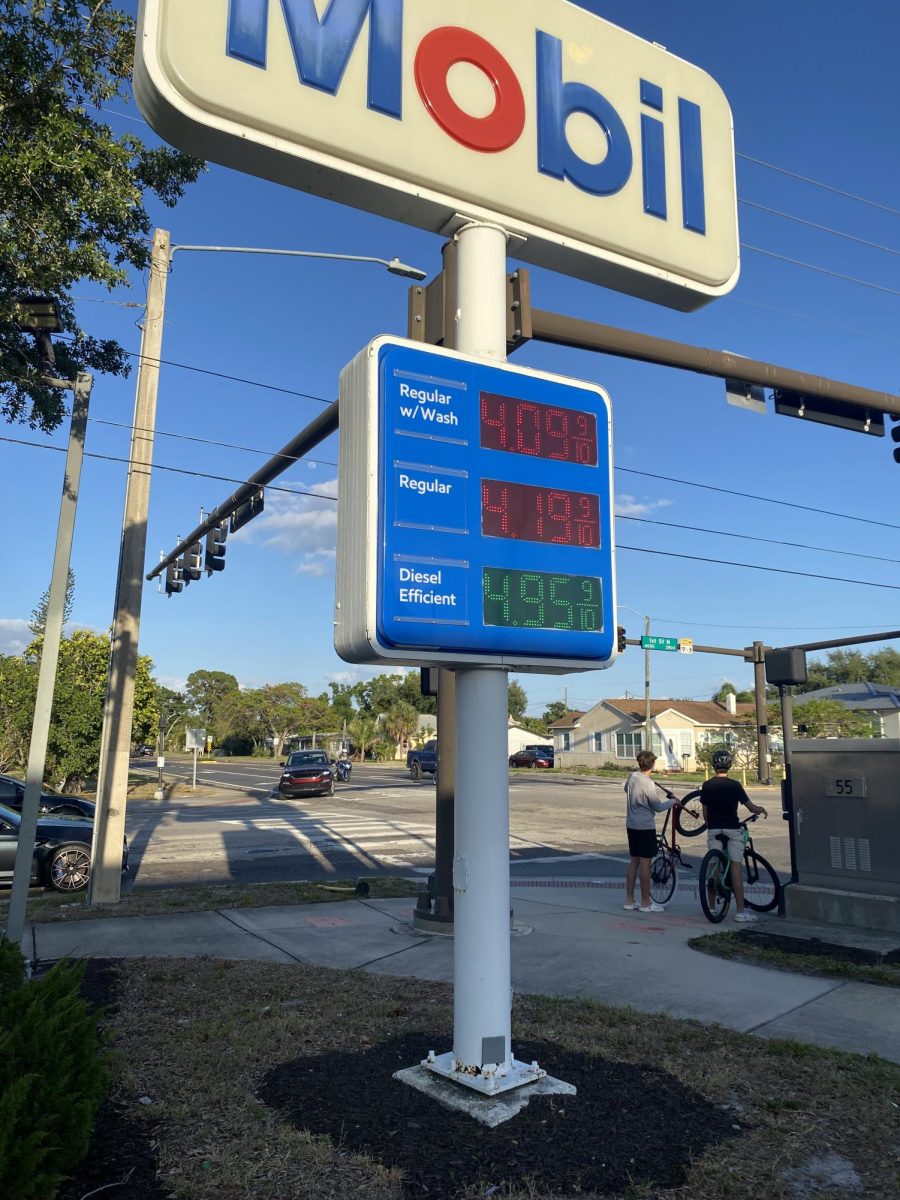
What would this mean for the future? It means cooler and drier weather might be the pattern for longer than usual. The gulf is expected to be cooler than average, due to prolonged periods of cold this month, with water temperatures in the 50s in the north gulf and reading up to 5 degrees below average near the shore throughout the gulf coast. This will likely lessen and delay the formation of summer storms in April, May and June, as the water will warm up more slowly and bring cooler conditions to the coast this spring. Hurricane development will also have a slow start this year, although there is an El Nino forecast to take place. However, the below average sea surface temperatures and ocean heat content will bring a slow start to the season for the gulf and western Caribbean.